


Discovering the legend "The Salvan of the Gardena pass"
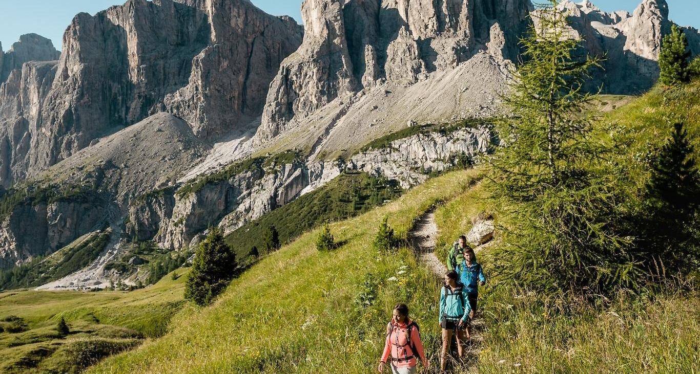


Embark on a four-hour hike from Colfosco to Passo Gardena, and you will find yourself in the footsteps of the Salvan, the mythical little man of the forest who lived on the border with the Val Gardena.
Discover the whole legend in the book: "Walking through an enchanted land" available in the tourist offices.
Roadbook
From the church in Colfosco you descend the Sotdlijia street, along the Cassa Raiffeisen bank, until you reach the junction with path no. 28 to the Pisciadú waterfalls, at the feet of the Val Mezdí. Continue on path no. 650 along the meadows to the Gardena pass. Cross the road and follow path no. 8. The trail leads to the "Salvan" spring then continues halfway up the hill through the Rü meadows, descends on path no. 8B to the neighbourhoods of Rönn and Pecëi and finishes in the Colfosco village centre.
Public transport
Getting to the starting point of the tour or point of interest by public transport is easy and convenient.
How to get there
Follow the SS244 Val Badia road towards Corvara.
Coordinates
- DD 46.554312, 11.855546
- DMS 46°33'15.5"N 11°51'20.0"E
- UTM 32T 718888 5159600
- w3w ///exceed.negligent.juke