


Via ferrata Small Cir

Just outside Colfosco, on the bends of the Gardena pass, you’ll find a short but diverse via ferrata, offering stunning views and an exciting climb.
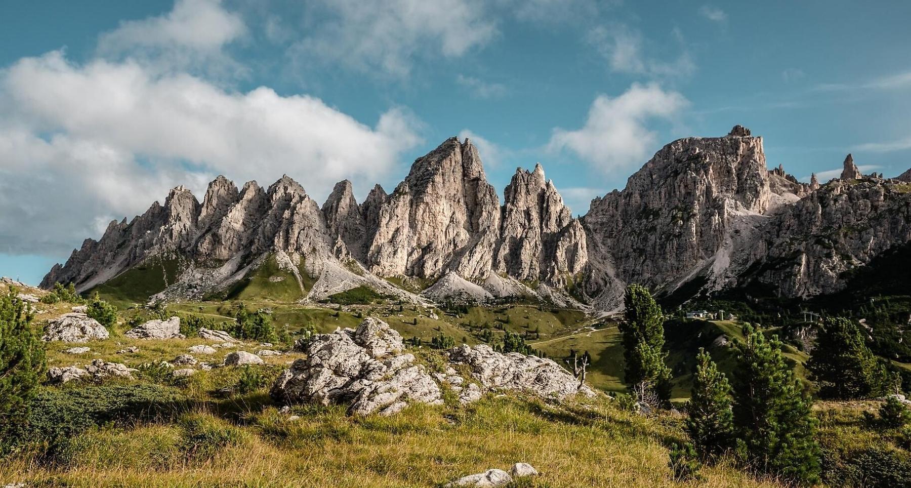
Short, steep via ferrata on solid rock with good grip. Easy access and gorgeous panorama.
Roadbook
Steep via ferrata, solid rocks with well-placed resting stops, and well-protected. The distances between the fixtures are short and there are frequent steel and tightened cables. The steep path towards the exit is made easier with the help of a stairway.
The orientation to the south is optimal, it allows to carry out the hike from late spring until late autumn.
Access to the via ferrata: from the path, arrive at the Dantercepies cable-car mountain station that follows a dug-up road or along the path on your left.
Descent: from the top, turn over the steep gap at the exit of the via ferrata, then follow the steel cables that go down to the crossroad between the fourth and fifth Cima Cir. Go down until the gorge (uneven stones and rubble) then carry on to the right until you reach the climbing path.
Public transport
Getting to the starting point of the tour or point of interest by public transport is easy and convenient.
How to get there
Follow the SS244 Val Badia road towards Corvara and continue on road SS37 to Colfosco.
Coordinates
- DD 46.549880, 11.806140
- DMS 46°32'59.6"N 11°48'22.1"E
- UTM 32T 715119 5158971
- w3w ///overrated.commercially.unlit