


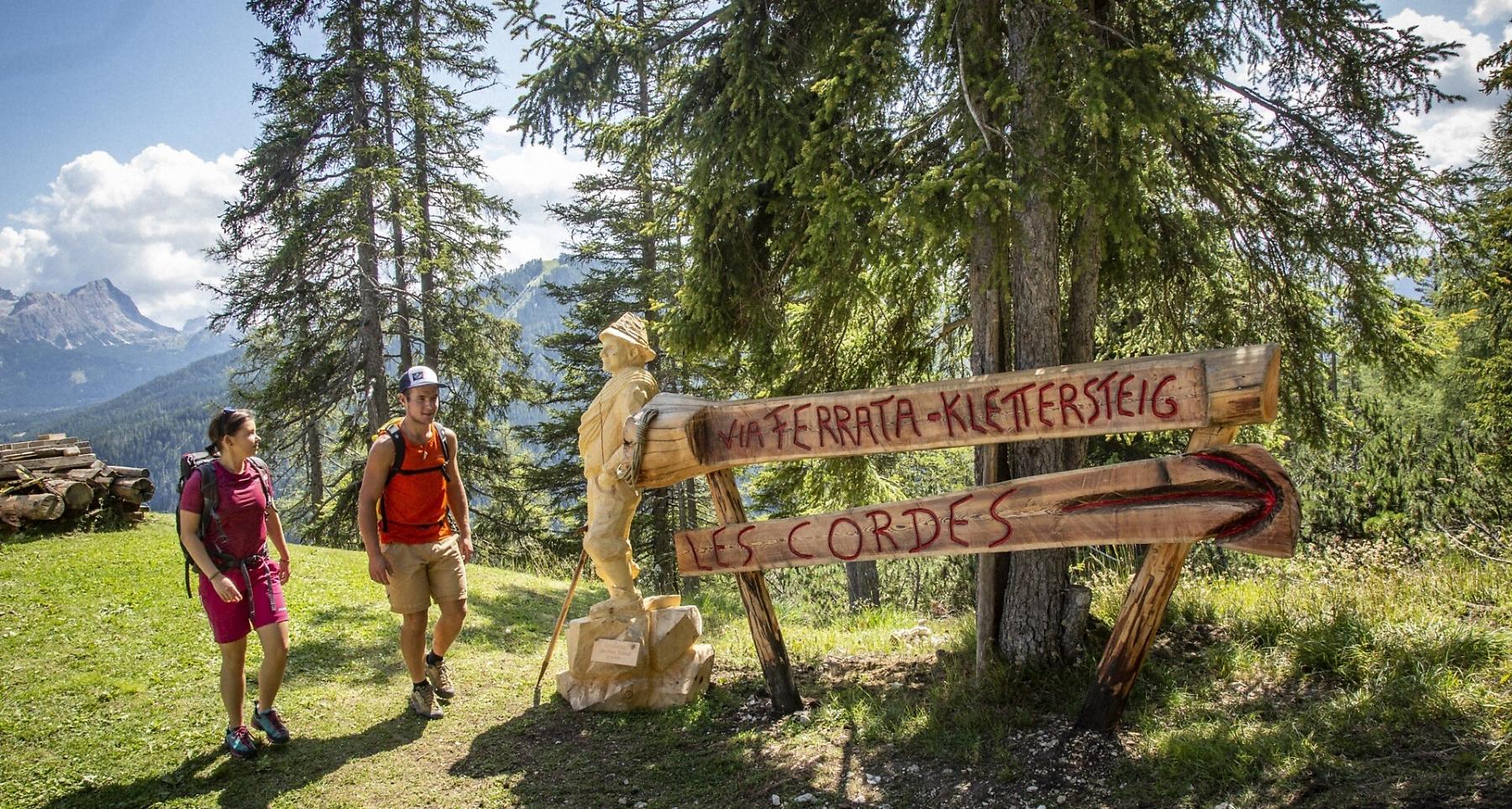
Via ferrata Les Cordes


The via ferrata Les Cordes, classified as medium to moderate, is a climb with great view points.
The via ferrata Les Cordes, classified as medium to moderate, is a climb with great view points. The via ferrata was built on the edge of the Puez-Odle Nature Park along a centuries-old route.
Many, many years ago, the farmers of La Villa brought their cows and horses to the Gherdenacia plateau on very steep path. The trail was much steeper and more demanding than all the paths that today lead to the Plateau. The path was called "les cordes" (Ladin for "the ropes").
In 2019 a via ferrata, also called "Les Cordes", was built along this route. The starting point of the via ferrata can be easily reached with the Gardenaccia chairlift. From the mountain station of the chairlift it is than only about 5 minutes to the start.
Roadbook
Ascent: From the mountain station of the cable car Gardenaccia on route no. 11B in about 5 minutes you reach the start of the via ferrata (about 45 minutes long). You start with a steep upswing where there are enough natural footholds. Now the terrain becomes a bit flatter and grassier - actually walking terrain followed by a final steep stretch to the exit.
Descent: Left on trail no. 5 to the Rifugio Gardenacia (2050m) or right, always on trail no. 5, back to the mountain station of the Gardenaccia chairlift (20-30 min.) and on to La Villa (50 min.).
Public transport
Getting to the starting point of the tour or point of interest by public transport is easy and convenient.
How to get there
Follow the SS244 Val Badia road towards La Villa.
Coordinates
- DD 46.586592, 11.885126
- DMS 46°35'11.7"N 11°53'06.5"E
- UTM 32T 721024 5163269
- w3w ///overseeing.fruit.gills