


From Badia through the Armentara meadows

Wonderful circular hike through flower-rich alpine meadows in pristine nature.
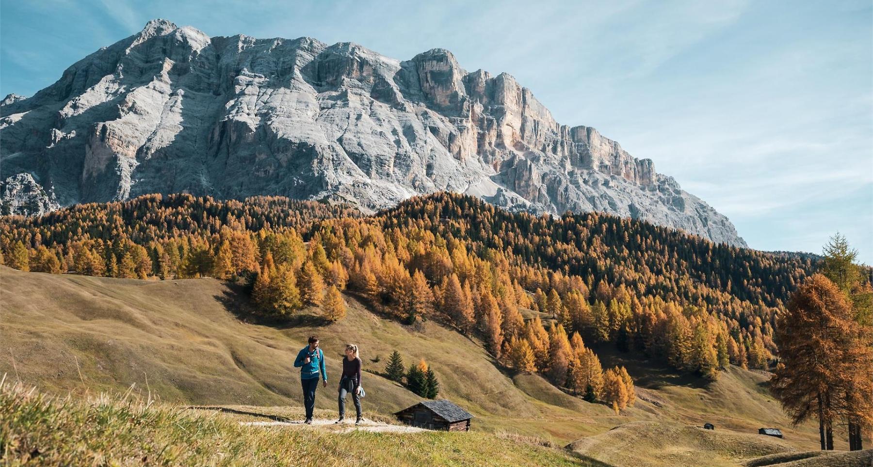
A relaxing walk from Badia surrounded by unspoilt nature. You walk through the Armentara meadows, famed for their abundance of flowers. No great effort is needed to walk in this idyllic and calm environment, through small groups of conifers and chalets built long ago.
Roadbook
Just a few metres south from the bus stop, head south-east following the signs for “Roda de Armentara“. Once out of San Linert, continue north-east skirting the Fussé, Ciastel and Valgiarëi farms. Take the forest road on the left, still following the indication “Roda de Armentara - Furnacia“ which brings you to the farms of Arciara and then Furnacia (2h). Veer right from here and follow the uphill road towards Armentara.
Once out of the wood you come to a junction where you follow the mark for the Ütia Ranch da André hut (2h 50min.) which you reach from here in only 5min. Continue following the sign “Roda de Armentara - Badia“ and pass the Razuns barns before arriving at the Valgiarëi farm. On the left, follow again the signs for “Roda de Armentara - Badia“, skirting the Cialaruns, Alfarëi, Ruac and Fussé farms before coming to Badia where your excursion started (1h 40min.).
Public transport
Getting to the starting point of the tour or point of interest by public transport is easy and convenient.
How to get there
Follow the SS244 Val Badia road towards Badia.
Coordinates
- DD 46.610054, 11.893711
- DMS 46°36'36.2"N 11°53'37.4"E
- UTM 32T 721586 5165900
- w3w ///deposit.foghorn.tarred