


Bike Beats - Mans Trail


The Mans Trail – named after the hands – is the newest adrenaline-filled addition to the Bike Beats trail network.
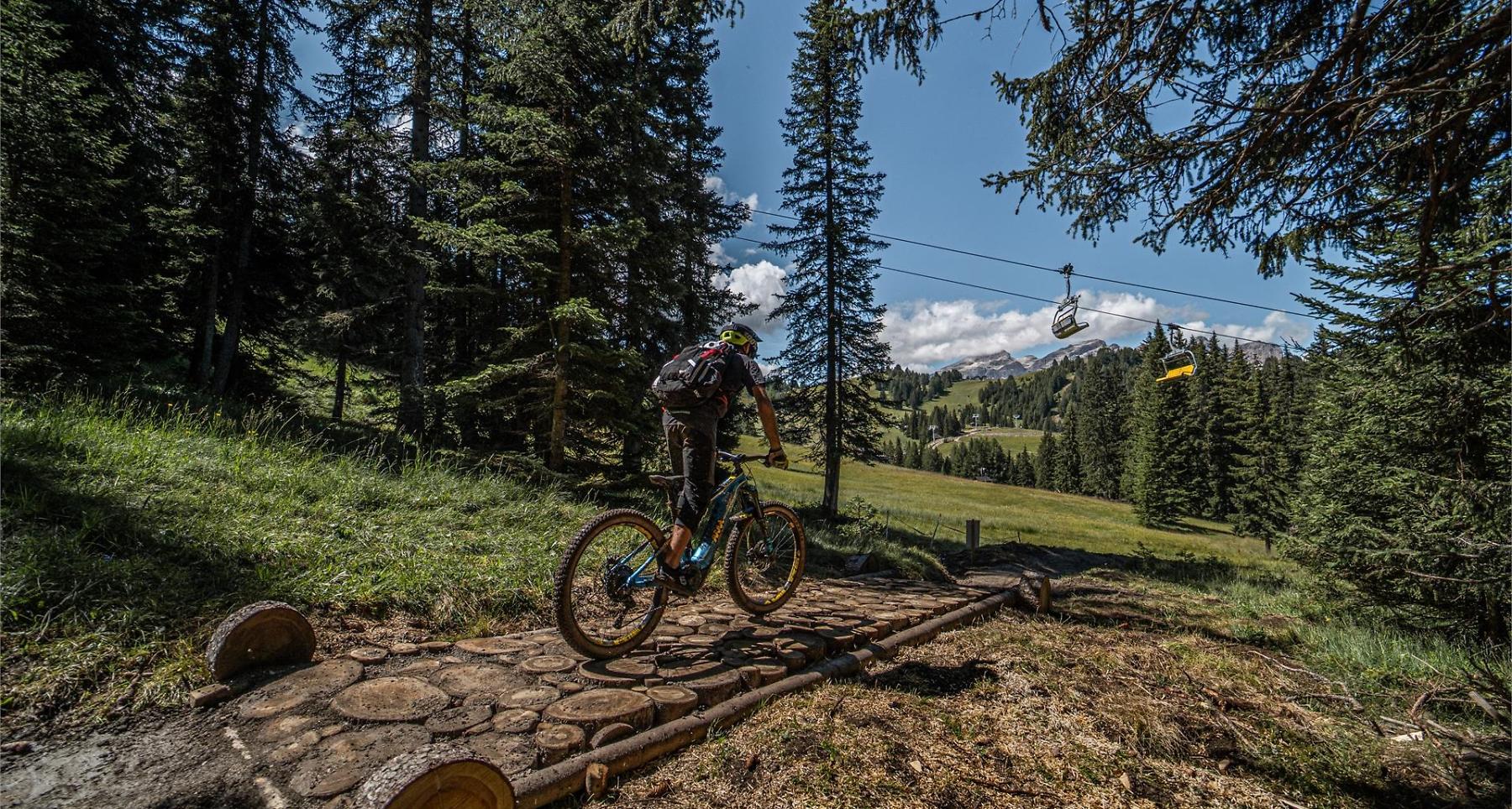
With the "Mans Trail" the Bike Beats “menu” offers even more adrenalin. After the Heart, the Eye, the Veins and the Breath, it's time for the Hands. The Trail Mans - in Ladin language hands, of moderate difficulty, calls for a sensitive touch and careful attention while riding along a fun route, where the trick lies in finding the optimal equilibrium between manual technique and balance.
Roadbook
Over 2 km in length, the route descends from Piz Sorega (San Cassiano) and arrives at the new La Fraina chairlift in the valley. From here, you can either head back to the summit on the San Cassiano slope or take the neighbouring “Bamby” chairlift back to the Movimënt at the mountain station of the Piz La Ila at La Villa.
How to get there
Follow the SS244 Val Badia road towards Corvara.
Coordinates
- DD 46.556418, 11.923184
- DMS 46°33'23.1"N 11°55'23.5"E
- UTM 32T 724064 5160024
- w3w ///toolbar.pies.contingency