


Lakes path - Tru di lec


Enchanting loop through forests and meadows between Badia and La Villa with Sas dla Crusc views – from Lech Dlá Lunch to magical Lech da Sompunt.
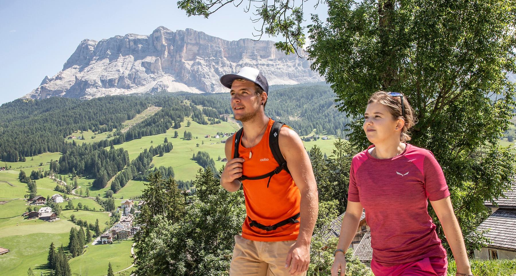
Walk in an unspoilt landscape, through thick woods and deep green meadows under the walls of the Gherdenacia plateau.
The trail brings you from Badia to the idyllic Lech Dlá Lunch and Lech da Sompunt lakes, shimmering emerald green.
Roadbook
From the bus stop in Badia, follow the directions for “Tru di lec“ and walk uphill until you reach the Hotel Gran Ander. Here, turn right and pass the Runch farm until you come to the wood’s edge. Follow a forest road which snakes through the wood, coming out at the junction for the Lech da Sompunt lake, where in some minutes, you will be at the Lech Dlá Lunch lake (1537 m) (50 min.). Back to the junction, proceed for the Lech da Sompunt lake (1 h 10 min.) on some ups and downs, until reaching the junction with trail no. 1, leading from Badia to Puez. From here, you can choose to descend eastwards directly to the Lech da Sompunt lake (trail no. 10A) or to continue on the “Tru di lec”, climbing up to the Col da Ciaminades hill then take the downhill road until you come to a clearing. Here, leave the forest road and take the path which leads to the idyllic Lech da Sompunt lake (1450 m). To return to Badia, go downhill passing the Paracia and Ciaminades farms.
Public transport
Getting to the starting point of the tour or point of interest by public transport is easy and convenient.
How to get there
Follow the SS244 Val Badia road towards Badia.
Coordinates
- DD 46.610128, 11.893682
- DMS 46°36'36.5"N 11°53'37.3"E
- UTM 32T 721583 5165908
- w3w ///application.darkened.warmed