


Panoramic hike on the Pralongiá - Bioch – Arlara plateau

Easy hike on the plateau above Corvara – perfect for families, with wide views and gentle trails.
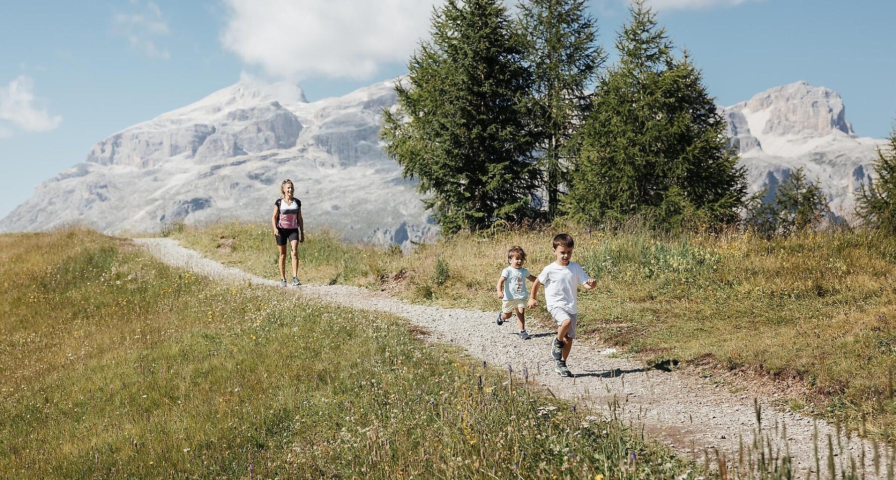
The Pralongiá plateau above Corvara stands out as an island of green among the pale shades of the beautiful Dolomite rocks, gently diping plains take the palce of jagged peaks, with a sea of flowers and extensive terrain just perfect for hiking, with endless views.
Roadbook
From the Pralongiá chairlift station, the walk at altitude heads up, along trail no. 25, until it comes to the Pralongiá hut (20min.). Continue north on trail no. 23, downhill initially until a fork in the road, then along the main ridge as it rises and falls in places, arriving at the Bioch hut (2073m). Continue to the same direction through a wooded slope, reaching a junction before the I Tablá hut and La Brancia hut. Now head left on an unsurfaced road towards the Piz Arlara hut. The descent towards Corvara is north-west up to a junction. From this point, follow the directions for Planac on trail nr. 30/A until the junction with trail no. 24, and go southwards. At the next junction, stay on the right to follow the direction for no. 25/B which will bring you back to the Pralongiá chairlift car park.
The top station of the Pralongá chairlift can also be reached on foot from Planac in about 1 hour and 15 minutes, on trails no. 24 and no. 25.
Public transport
Getting to the starting point of the tour or point of interest by public transport is easy and convenient.
How to get there
Follow the SS244 Val Badia road towards Corvara.
Coordinates
- DD 46.534966, 11.904730
- DMS 46°32'05.9"N 11°54'17.0"E
- UTM 32T 722737 5157588
- w3w ///stealthily.recoding.rudder