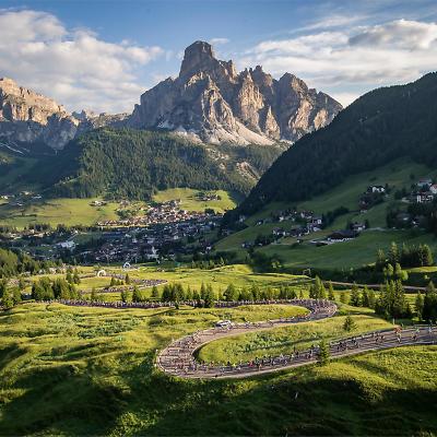
Alta Badia by bike, in the heart of the Dolomites
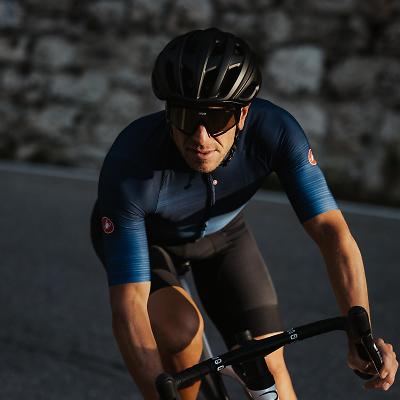
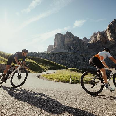
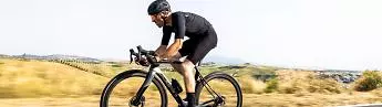
Cycling has been an epic event in the Dolomites since the days of Bartali and Coppi. It is on these legendary roads that we still celebrate the epos of a sport that never ceases to amaze. And Alta Badia is the ultimate starting point to experience breathtaking cycling tours in the Dolomites.
Bike Beats - Ödli Trail
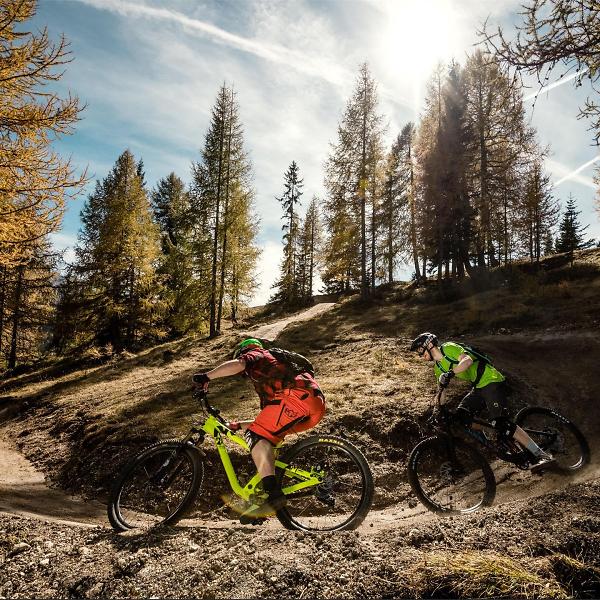
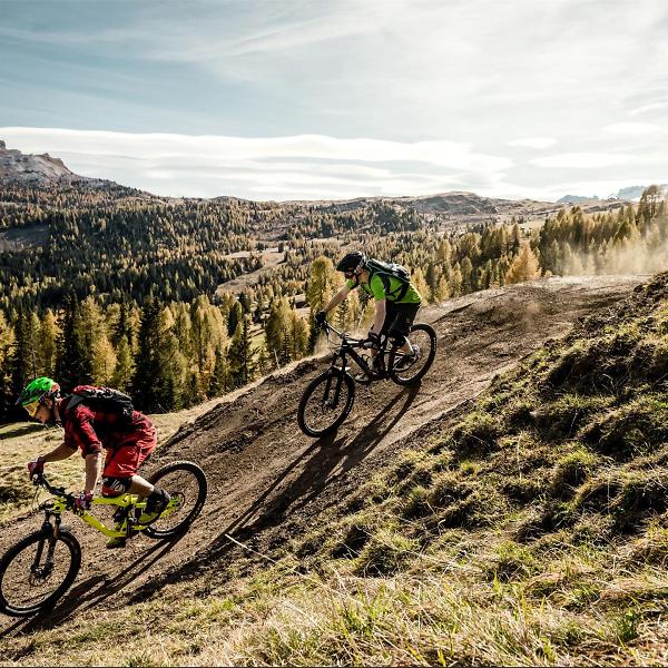
The trail “Ödli” is ideal to enjoy the Dolomites in all their beauty. Ödli means eyes in the Ladin language and it is with their own eyes that taking the easiest of the Bike Beats trails, bikers will have the opportunity to admire the magnificent scenery.
The trail extends along the right slope of the Piz Sorega for a total length of 1460 m and an altitude difference of 142 m.
Roadbook
Perfect for bikers of all levels, including less experience bikers, the Ödli is a flow country mountain biking trail. Slightly wider than trails normally used for enduro and downhill mountain biking, flow trails allow bikers to keep going downhill without any interruption thanks to waves and berms without any protruding roots or rocks.
The Ödli trail includes some exciting north shore sections to avoid swampy or too difficult areas. The last section goes through the dense woods of the “Bosch dl guardian” (Guardian’s wood), immersed in the intense pleasant scent of nature, and then joins the blue trail “Avëna” until destination.
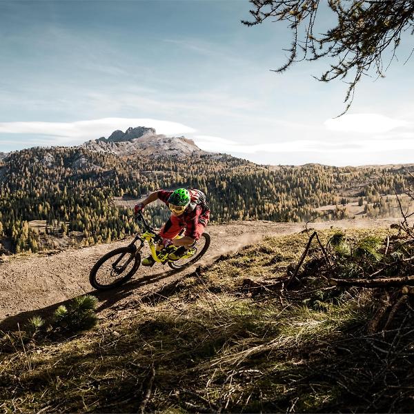
To offer you the opportunity to relive the experience of the descent and make it unforgettable, the trail includes a special point with photographic equipment, which will take a picture of you as you change direction from one bend to another. You can then admire your feats and download the picture on the screen of the terminal located near the start of the Piz Sorega cable car line at the bottom of the valley.
How to get there
Follow the SS244 Val Badia road towards Corvara.
Coordinates
- DD 46.556418, 11.923184
- DMS 46°33'23.1"N 11°55'23.5"E
- UTM 32T 724064 5160024
- w3w ///toolbar.pies.contingency
Cycling in the Dolomites, under the banner of the magical number three
Maratona dles Dolomites-Enel, Sellaronda, Dolomites Bike Day: three bike events in summer.