From San Cassiano to Pralongiá until Corvara


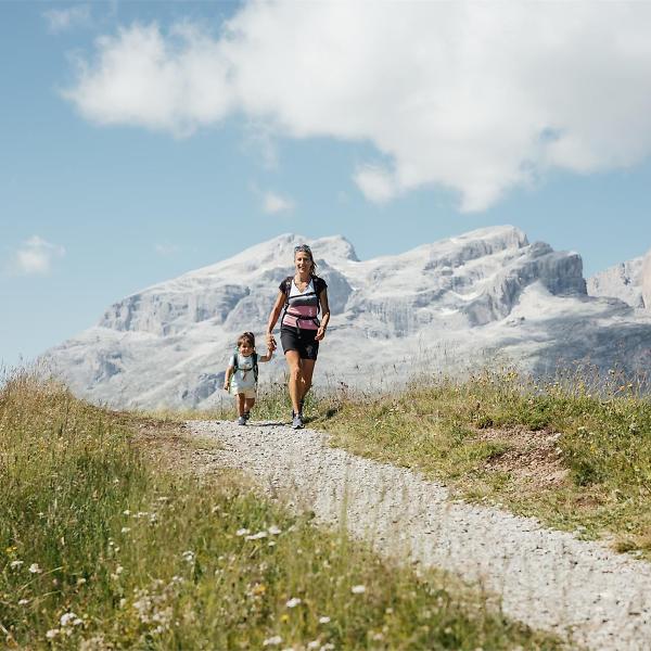
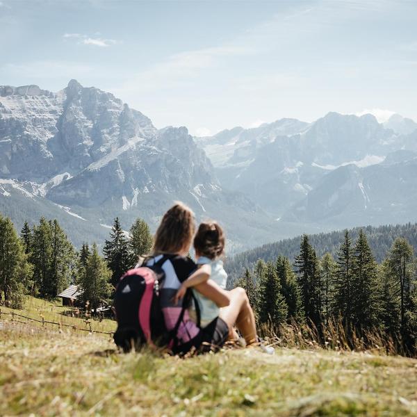
Extremely enjoyable excursion which, from San Cassiano/Piz Sorega, crosses the breathtaking meadows of Pralongiá, renowned for their profusion of flowers.The panorama here is spectacular, stretching from the Lavarela to the Lagazuoi summits, from the Marmolada to the Grup dl Sela, from Puez to Pütia and looking to the north, right up to the glaciers of the Central Alps on their border with Austria.
Roadbook
From the Piz Sorega cable car top station (2040 m), set off south-west on trail nr. 21A, passing the alpine guesthouse Las Vegas direction Pralongiá. The path continues on the flat through breathtaking high mountain meadows and leads to the Ütia de Bioch hut (2073 m) (30 min.). Now take trail nr. 23 on the left and go south along the ridge to the alpine guesthouse Pralongiá (2135 m) (1 h 10 min.). The view over the nearby Dolomites is enchanting.
The descent to Corvara (1h 30min.) is on trail nr. 25 on the west until, once you pass the Ütia Punta Trieste hut, you come to a junction. Continue on the right on trail nr. 24 to Corvara.
Public transport
Getting to the starting point of the tour or point of interest by public transport is easy and convenient.
How to get there
Follow the SS244 Val Badia road towards La Villa and continue on road SS37 to San Cassiano.
Coordinates
- DD 46.556057, 11.922667
- DMS 46°33'21.8"N 11°55'21.6"E
- UTM 32T 724026 5159982
- w3w ///venues.indulgent.penning


