


Winter hike Corvara - La Villa
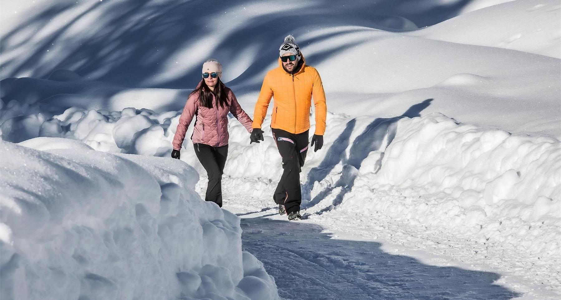


Walk from Corvara along the river Rü Tort to La Villa, easy walk through the woods.
Roadbook
Go north from the car park at the Boé cable car, until you reach the road leading from Corvara to Colfosco. Staying on the right and following the signs to La Villa - Tru do l'ega. Staying alongside the river until you draw level with Verda and Hotel Cristallo. Continuing along the path, you will pass the junction for Funtanacia and arrive at the sports facilities followed by a junction. On trail nr. 2 and staying left, go up to the town of La Villa. Alternatively, you can continue on the right along the river, taking the routes to Badia and San Cassiano.
Public transport
Getting to the starting point of the tour or point of interest by public transport is easy and convenient.
How to get there
Follow the SS244 Val Badia road towards Corvara.
Coordinates
- DD 46.548926, 11.871765
- DMS 46°32'56.1"N 11°52'18.4"E
- UTM 32T 720153 5159046
- w3w ///windbreaker.crooks.outlaw