


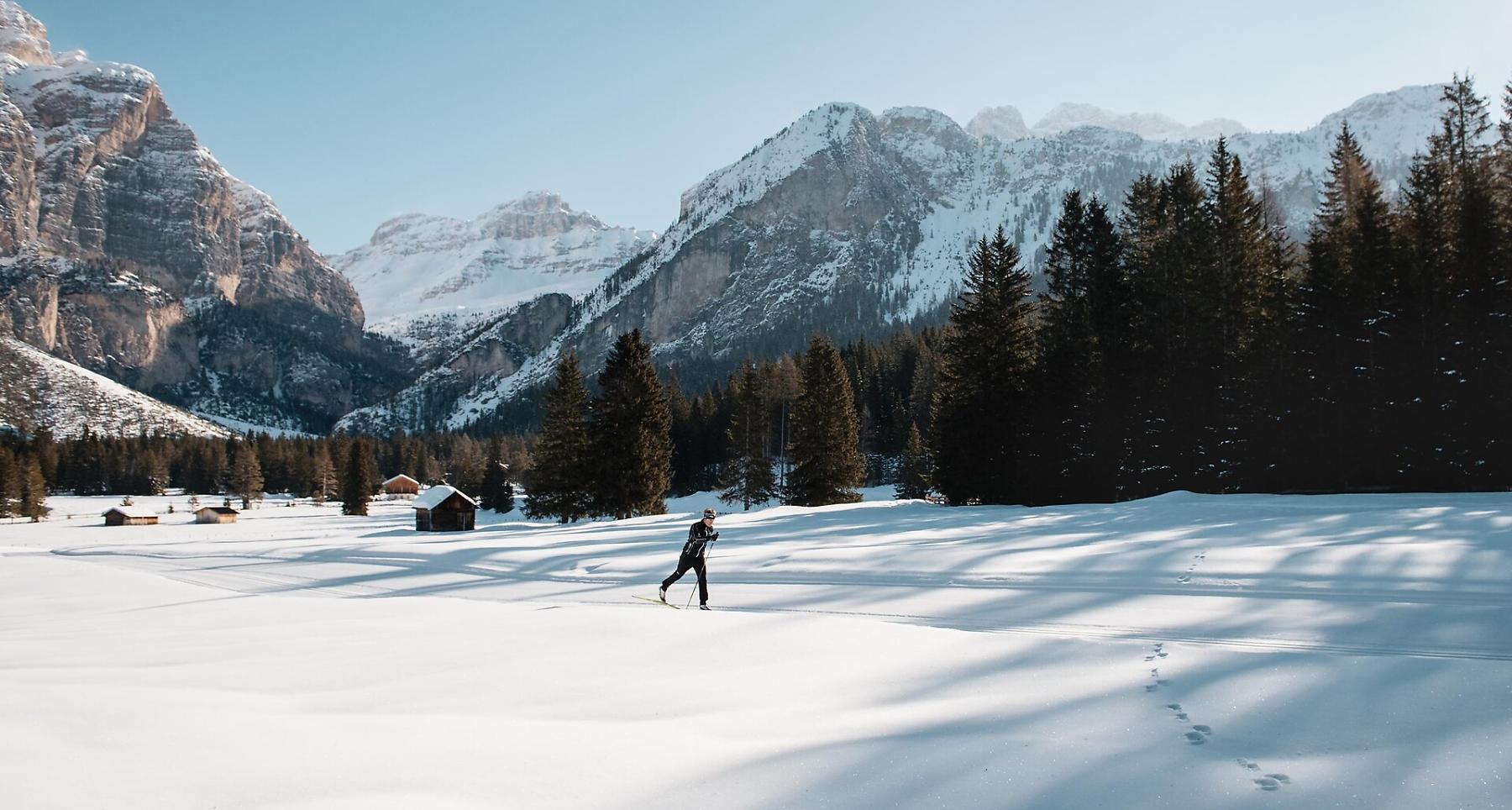
Cross-country trail San Cassiano - Scotoni
Cross-country skiing
- Alta Badia
closed
Alta Badia Tourism Cooperative
Conturines cross-country skiing slope
Pictures:
Alta Badia/Alex Moling, Alta Badia Tourism Cooperative

Scotoni cross-country skiing slope
Pictures:
Alta Badia/Alex Moling, Alta Badia Tourism Cooperative
The route
The route
Details
Roadbook
How to get there
The slope is prearranged as agonistic and training area through the beautiful woods of San Cassiano.
Difficulty
Difficult
Experience
Landscape
Best time of year
Jan
Feb
Mar
Apr
May
Jun
Jul
Aug
Sep
Oct
Nov
Dec
Track types
Roadbook
The cross country area Alta Badia in Saré/Armentarola, at 3 km distance from San Cassiano town centre, counts approximately 25 km of tracks.
How to get there
Follow the SS244 Val Badia road towards La Villa and continue on road SS37 to San Cassiano.
Coordinates
- DD 46.553681, 11.966624
- DMS 46°33'13.3"N 11°57'59.8"E
- UTM 32T 727405 5159844
- w3w ///incursion.relocation.cajoles
Status
closed
Distance
2,5
km
Duration
0:46
h
Ascent
65
m
Descent
64
m
Highest point
1.688
m
Lowest point
1.637
m