


Maratona dles Dolomites - Maratona course
Road biking
- Alta Badia
Alta Badia Tourism Cooperative
Maratona dles Dolomites - percorso maratona
Pictures:
Alta Badia/Alex Moling, Alta Badia Tourism Cooperative
The route
The route
Details
How to get there
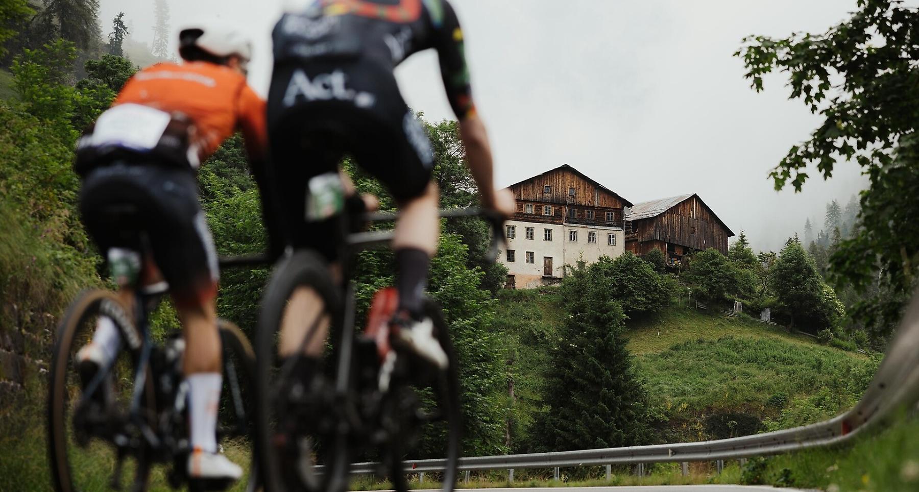
The 138 km Maratona route crosses famous passes like Campolongo, Pordoi, Sella, Gardena, and Giau with slopes up to 15%. Legendary and challenging.
The Maratona route of the Maratona dles Dolomites is 138 km long with a total elevation gain of 4,230 meters. Cyclists tackle iconic climbs like Passo Campolongo (1,875 m), Passo Pordoi (2,239 m), Passo Sella (2,244 m), Passo Gardena (2,121 m), and the challenging Passo Giau (2,236 m) with slopes reaching up to 15%. After Passo Valparola (2,200 m), riders face the steep Mür dl Giat (1,472 m), a short but tough stretch that tests even experienced cyclists.
Difficulty
Difficult
Experience
Landscape
Best time of year
Jan
Feb
Mar
Apr
May
Jun
Jul
Aug
Sep
Oct
Nov
Dec
Coordinates
- DD 46.577853, 11.895881
- DMS 46°34'40.3"N 11°53'45.2"E
- UTM 32T 721884 5162328
- w3w ///conferences.screamed.unanimously
Distance
134,7
km
Duration
8:53
h
Ascent
5.121
m
Descent
5.081
m
Highest point
2.244
m
Lowest point
1.311
m
Downloads