Walk from La Villa to the Lech da Sompunt Lake


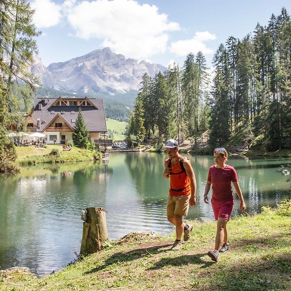
An easy and enjoyable stroll between La Villa and Badia, through woods and meadows with views of the Sas dla Crusc/Sasso di Santa Croce mountain, Lavarella and Conturines mountains. This walk is suitable even for strollers.
Roadbook
From the bus stop in La Villa, follow the trail uphill to the higher part of the village of La Villa.
Turning right in front of the church you initially walk along an asphalted road marked no. 5A past the houses at the top of the village, then left along the ski trail and through the trees. From here you continue the trail to the Lech da Sompunt lake (walking time: approx. 45min.).
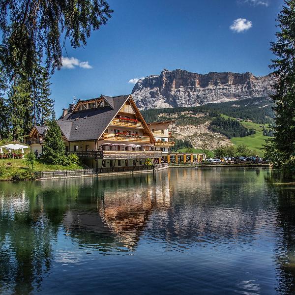
There is a circular walk around the shores of this magical lake, which mirrors the peaks of the Sasso di Santa Croce and the Lavarella.
Continue on the trail and slightly downhill to Ciaminades. Continuing in the same direction, going first slightly downhill and then on the flat you arrive to the main street of Pedraces. Along the river, on a comfortable path you get back to La Villa.
Public transport
Getting to the starting point of the tour or point of interest by public transport is easy and convenient.
How to get there
Follow the SS244 Val Badia road towards La Villa.
Coordinates
- DD 46.582711, 11.903663
- DMS 46°34'57.8"N 11°54'13.2"E
- UTM 32T 722460 5162890
- w3w ///merchandise.rounders.unforgiving


