


Cross-country trail Armentara - Sas dla Crusc
Red route.
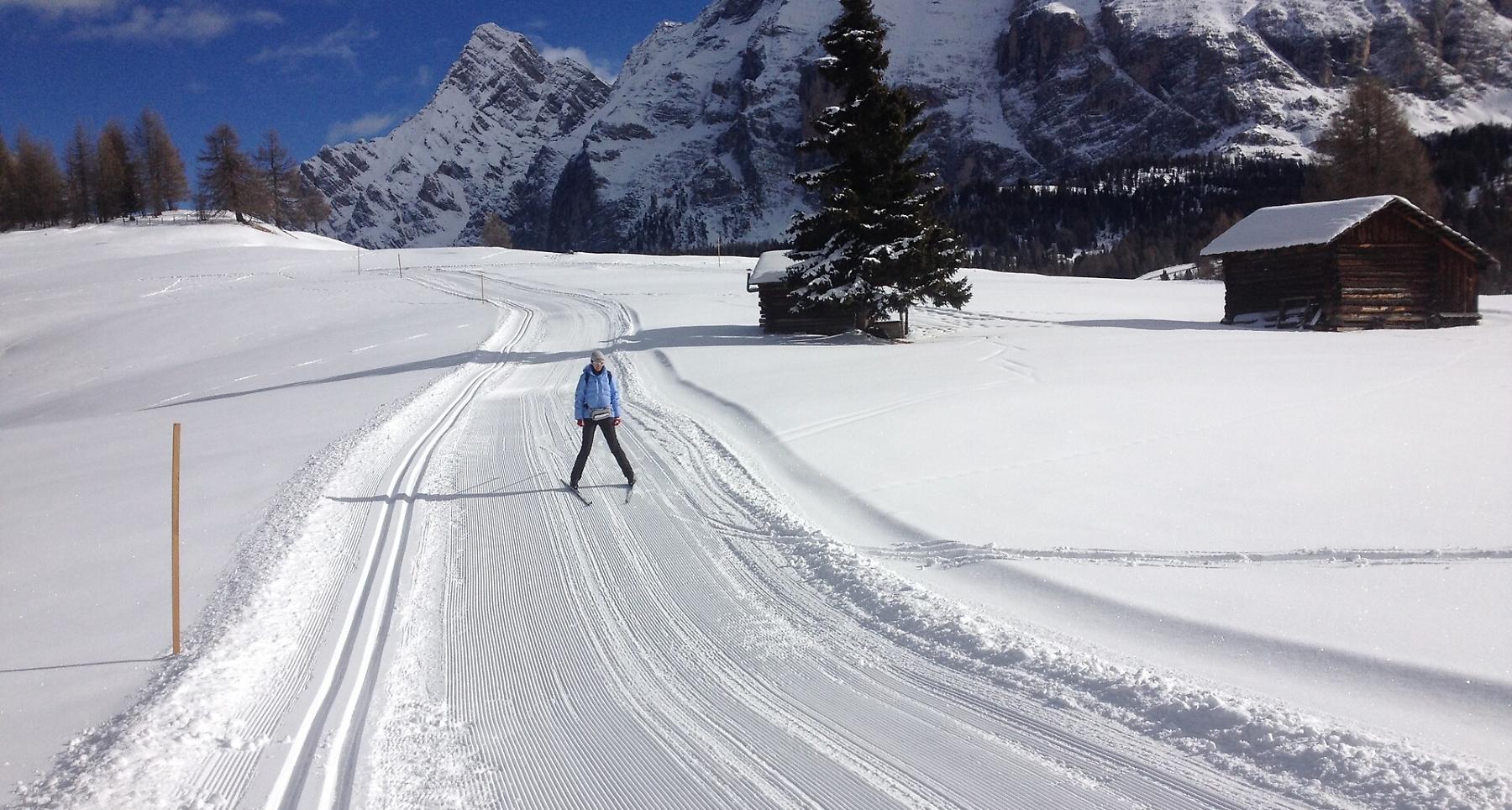
At the foot of the majestic Sas dla Crusc in the UNESCO World Heritage Site of Fanes-Senes-Braies Nature Park we find the Armentara meadows. With breathtaking views of rare beauty and wide expanses of white snow as far as the eye can see, winter here warms hearts.
Three different cross-country skiing trails have been created in these immense meadows and can be reached within a few minutes' drive. At the hamlet of La Cialciara above Furnacia, just outside the village of La Val, there is a large car park from where, with a walk of about 20 minutes, you can reach the start of the slopes.
Roadbook
After a short walk on a well prepared and marked path, in about 20 minutes, you reach the Armentara cross-country skiing area with three trails of various lengths (approx. 3, 4 and 5 km). The Sas dla Crusc route is the 5-kilometre one.
At the Ranch da André hut you can refresh and change yourself, deposit your skis and boots.
How to get there
Follow the SS244 Val Badia road towards Pederoa and continue on road SP60 to La Val.
Coordinates
- DD 46.635340, 11.925542
- DMS 46°38'07.2"N 11°55'32.0"E
- UTM 32T 723919 5168799
- w3w ///stimuli.obstruct.tribunes